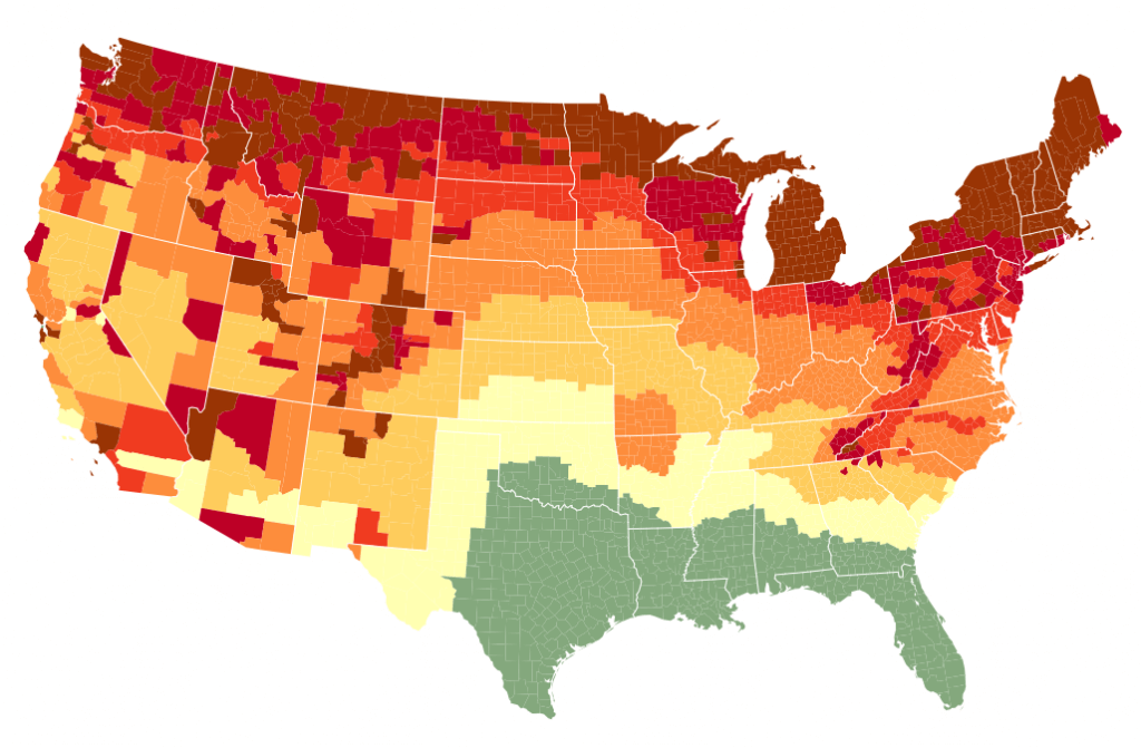
I love maps. Some mapping geniuses have created these interactive fall foliage prediction maps. Now you can know when and where the autumn colors will be at their finest:
Smoky Mountains.com’s Fall Foliage Prediction Map
ExploreFall.com’s Fall Foliage Map
You might also find foliage maps specific to individual states at this link.
I hope these help with your travel plans this year and in the future. Happy Autumn, everybody!


Thanks Jesse,
This is a great website. I’m assuming the map changes as fall progresses.
Yes, you can use the date-slider bar below the map to adjust it and see how the foliage is changing across the nation. And I’m guessing that this will be kept up-to-date in future years. I’m saving it to use next year…